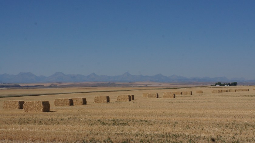
Saturday was a pleasant day for driving. We headed south from Banff on secondary roads. We were headed to a boondocker outside of the town of Pincher Creek. We picked up a few groceries and enough fuel to get us through to the cheaper fuel in the US. It didn’t take us long to leave the mountains and soon all we saw were the foothills. It was a bit hazy, probably from the forest fires.
We arrived at our hosts for the night, Bev & Garry. They live on a farm that has been in the family for nearly 100 years. Garry has lived there all his life. They have crops only now, and some barn cats with young kittens. There was another family already there (although they were out visiting an attraction when we arrived) and another expected. We parked right in their front yard where they had a very large gravel driveway.
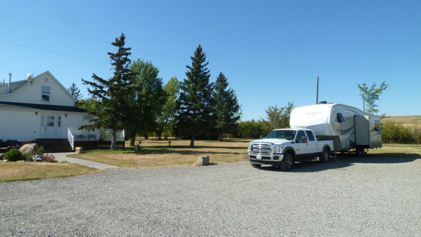
Garry even had a couple of spots where he had put in hydro connections and a water tap. After a nice visit with our hosts, we had our supper and while we were eating, the other family arrived.
Both families were travelling on the road for a year with their two children (ranged in ages between 7 & 11). One family lives in Montana and the other in Australia. The four children had a great time running around the wide open space of the farm and chasing the kittens!
The next morning we had a leisurely morning at the farm before leaving for Montana. We’ve decided that we will drive south from the farm which will bring us right in to highway 2 at Saint Mary which is the start of Glacier National Park and where one of their campgrounds are located which will accommodate our sized trailer. According to their web site, they didn’t fill the campground last night so we’ll see if we are able to get a site for a couple nights. Otherwise, we’ll start heading east.