Blog

Alpine Trail

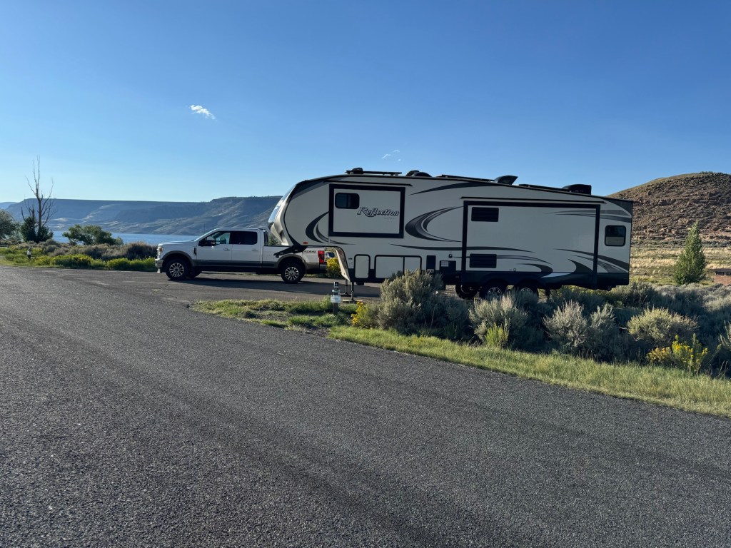
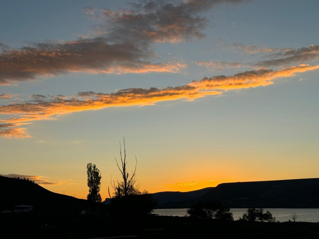
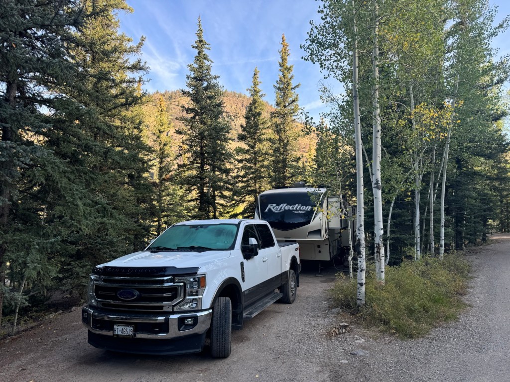
We arrived at Castle Lakes RV Park Friday afternoon. The road from Elk Creek was easy and then when we got to Lake City we had 8 miles of gravel road to get into our campground. It turned out nice though; they had had a couple of cancellations and moved us to a lake view site amongst the pine trees.

Site 31

We checked in and since the weather forecast for Saturday was good, we reserved a jeep for the day.

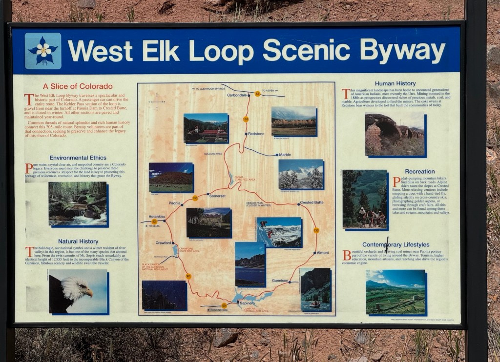
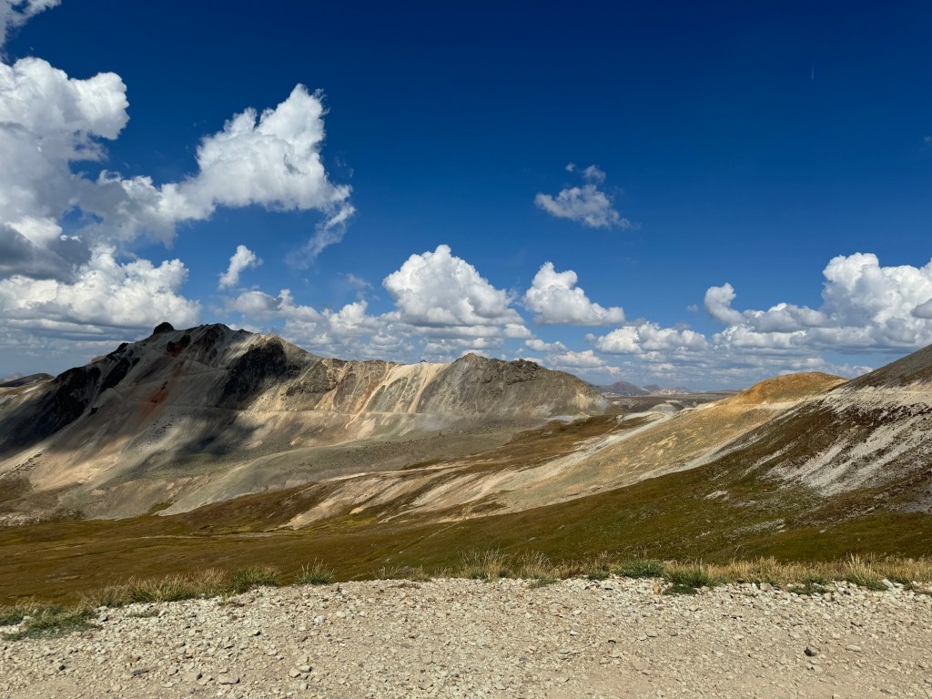
Saturday morning we were up early and started out at 9 am – it was clear but chilly with a forecast for mostly clear skies. The first part of the Alpine Loop was basically a gravel road that any 4×4 vehicle could travel, but it soon became rockier.

Our starting point was just southwest of Williams Creek Campground on #30. Our route was clockwise with a side trip to Silverton.
The start of the loop

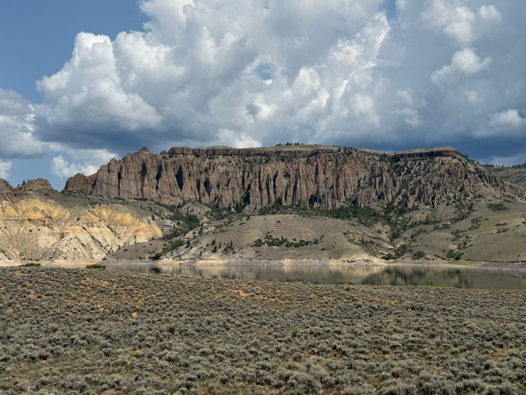
Our first significant point was Cinnamon Pass. As we climbed, the road was rougher and we had lots of bouncing around in the jeep. The pass gets its name from the colour of the mountains in the pass.

The top of Cinnamon Pass at 12,640’ This was the jeep we rented.

Shortly after the pass we reached the side road down to Silverton. Our trip so far had taken about 2 1/2 hrs. Given the time estimates, we should have skipped Silverton, but we hadn’t brought a lot of food with us, having planned a side trip for lunch.

As soon as we got cell signal, I called the restaurant that had been recommended to us and ordered their wood-fired pizza to go. The pizza from Golden Block Brewery was excellent but we were sorry to have to eat on the run! Back on the trail, we didn’t have time to stock at Animas Forks, a ghost town that still has visible remnants of the town.

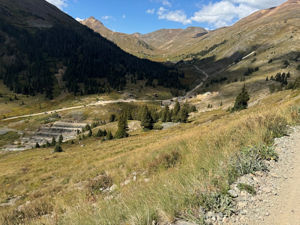
Originally prospectors were after gold around 1873, but soon discovered the area was rich in silver. By 1910, one of the Mines, Sunnyside Mine had 10 miles of tunnels and employed 300 miners. The last mine in the area closed in 1948.

Our final pass of the day was Engineer Pass. We had been to this peak more than 10 years ago when we had rented a Jeep and started from Ouray. Just before arriving at the pass we stopped at Odom Point for a photo op.

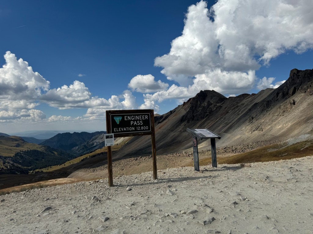
Engineer Pass at 12,800’

Once we reached the pass, we had 20 miles van of rough, rocky road before we arrived at Lake City and on our final 8 miles of gravel road back to our campsite. We were 1/2 hr late returning the jeep and I had had enough!

Sunday was a quiet day and a time to do some laundry. When the campground has laundry facilities it’s good to take advantage of it – saves looking around in a town and wasting time!

Monday we’re back on the road to our next stop.

Mountains

So it turned out we did have excellent cell signal last night! Even though the park showed over 100 sites available, many of them were posted as one night only available. Turns out there is an astronomy festival here this weekend so half the sites can be reserved and therefore many are reserved starting Thursday night.

Yesterday’s highlight of the drive was a climb up through Monarch Pass which ends up peaking at about 11,700 ft in elevation. It is a popular ski area but also offers other outdoor recreational activities.

Arriving at Elk Creek Campground, Curecanti National Recreation Area, we drove around looking for a site and saw all the signs were for one night only. We talked with the campground host and found out we could go to the web reservation site and find the ones that were showing available Thursday night and reserve Thursday night on line and pay for the first night on site. We chose a site and set up and enjoyed our supper. We have a nice view of the Blue Mesa Reservoir from our dining table. Our elevation is about 7500’. A long way down from Monarch Pass!

Site 6 Elk Creek Campground, Curecanti National Recreation Area
Golden evening

After some rain during the night with temperatures down to 7 C, we decided to take a scenic drive on Thursday. Called the West Elk Loop, it will take us close to the Black Hills of the Gunnison National Park. However, we don’t plan on going into the park at this point and instead will catch it in about a week when we come at it from the other side. There have been 2 bridges under construction on Hwy 50 with restricted traffic and we weren’t sure how much traffic would be impacted.

Looking across Blue Mesa Reservoir
96 miles of shoreline makes this the largest body of water in Colorado
It’s a long way down!

Some areas of the loop were more interesting than others. The earlier part where we could see the black canyon was very scenic. We left that area and stopped in the small town of Crawford where we picked up a sandwich for lunch. The lady at the shop said the summer and fall are busy but winter and spring they are down to a population of just over 400. Not sure what the residents do then!

Hermits Rest overlooking Morrow point Reservoir, before the town of Crawford. The mountains in the background are 13-14000’ high.

After lunch we went through the farming communities of Hotchkiss and Paonia. We saw grapes – there are about 10 wineries – and bought some local peaches. As we drove some of the streets in Paonia, we saw this beautiful church with a lot of stained glass

Paonia Christian Fellowship. Zoom in on the stained glass windows. Built in 1907.

After we turned onto the county road towards Kebler Pass, the scenery was less dramatic. We were mostly on a hard-packed dirt road with some paved areas.

One of the more scenic views along the Kebler Pass

There had been some rain today but it was finished by the time we got to the wet roads. Only had a few sprinkles on the windshield. We never did see a sign when we got to Kebler Pass, and eventually we came out to the town of Crested Butte. They have a unique and pretty way of calming traffic!

The flower boxes alternated sides of the street and they were at least 3’x5’.

At that point we headed south, back to Gunnison and Elk Creek Campground. Overall 270 km scenic drive.

Tomorrow is another drive day, but a scenic road to Lake City where we will spend 3 nights.