After taking a day off on Tuesday, we were back in the truck again on Wednesday for another drive. Paul was game for another cliff-hugging, switchback mountain road but I had had enough of that for a while. With a quick stop at the National Forest and Bureau of Land Management offices to get some alternatives, we started on Harts Draw Road west of Monticello. Once again, we had some smoke on the horizon from the forest fires.
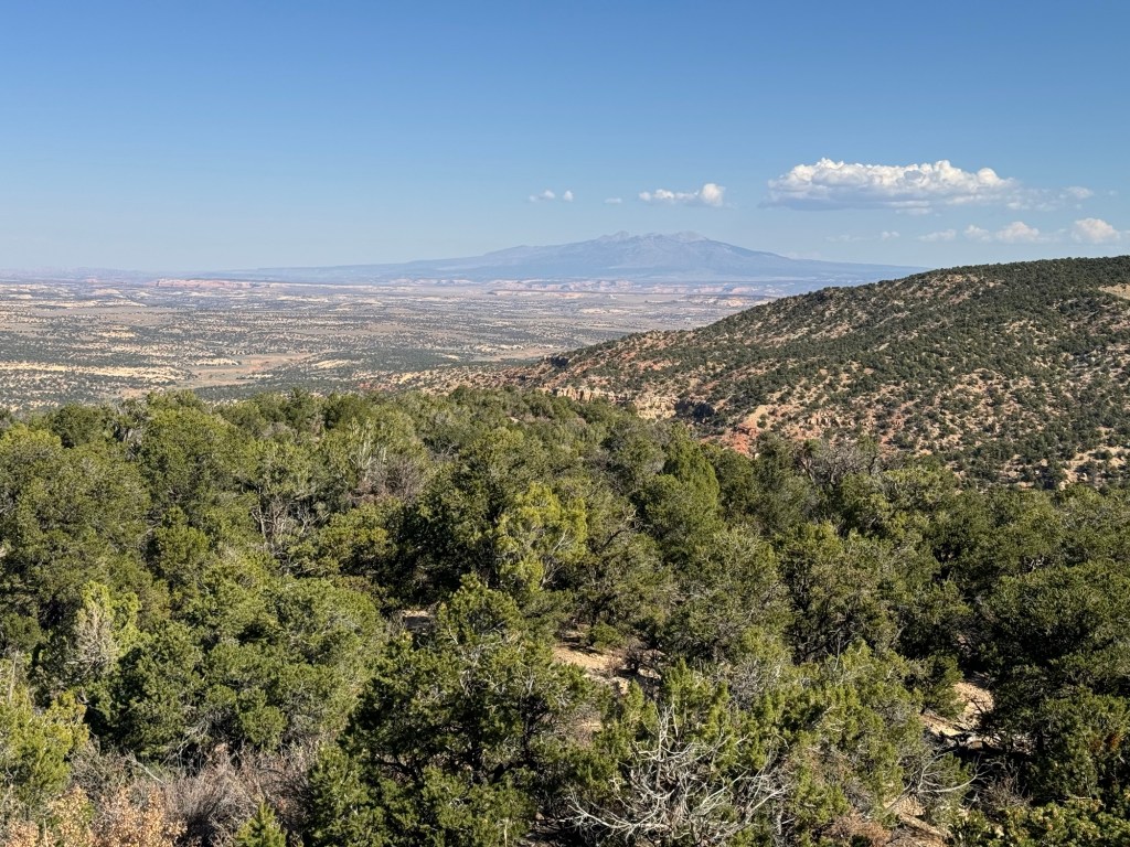
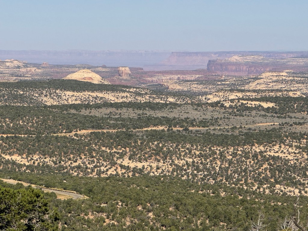
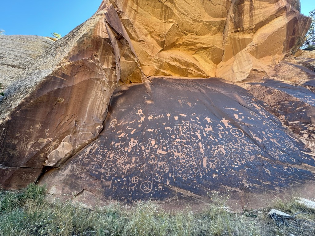
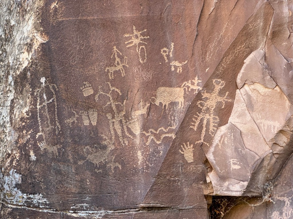
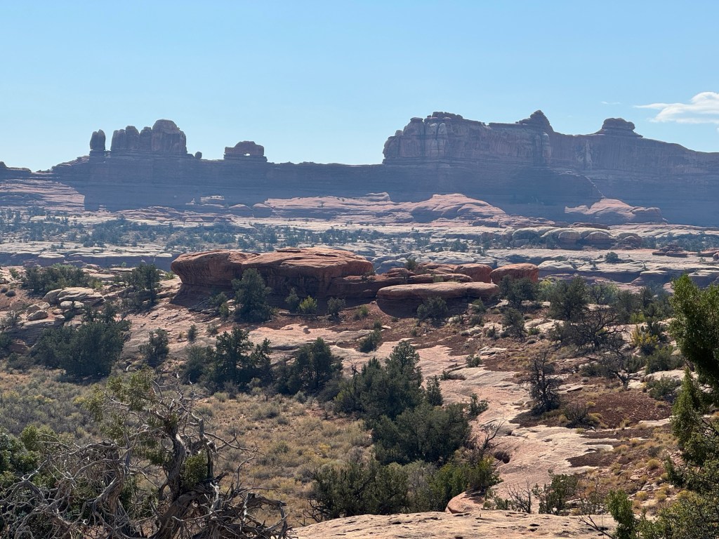
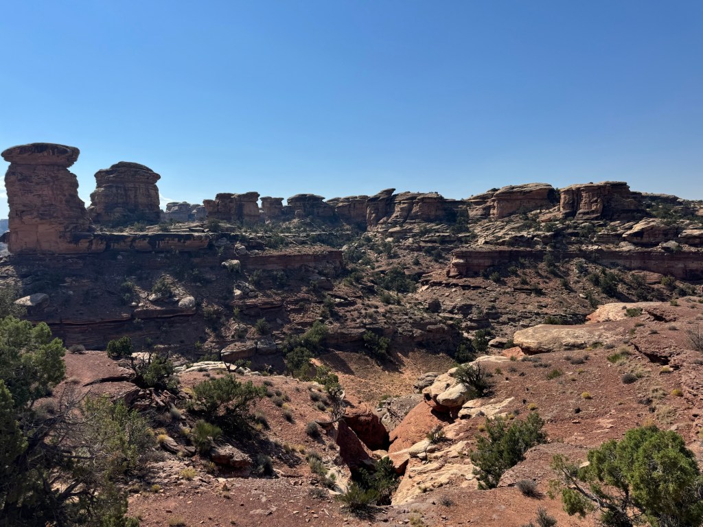
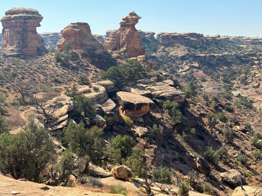
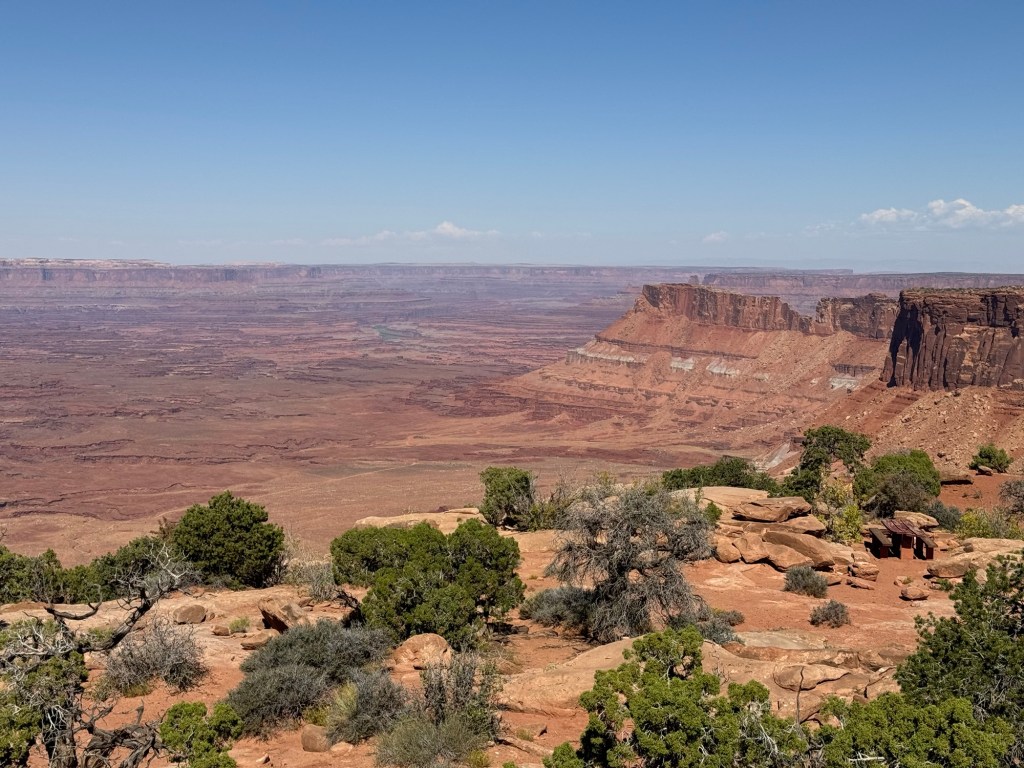
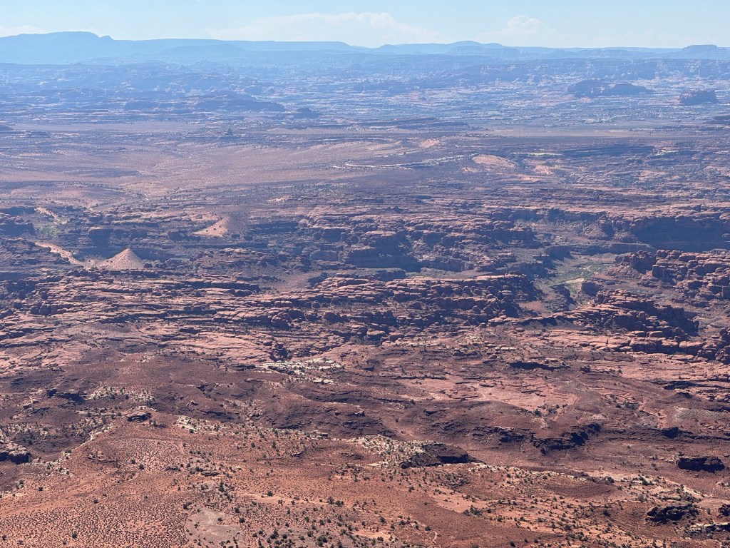
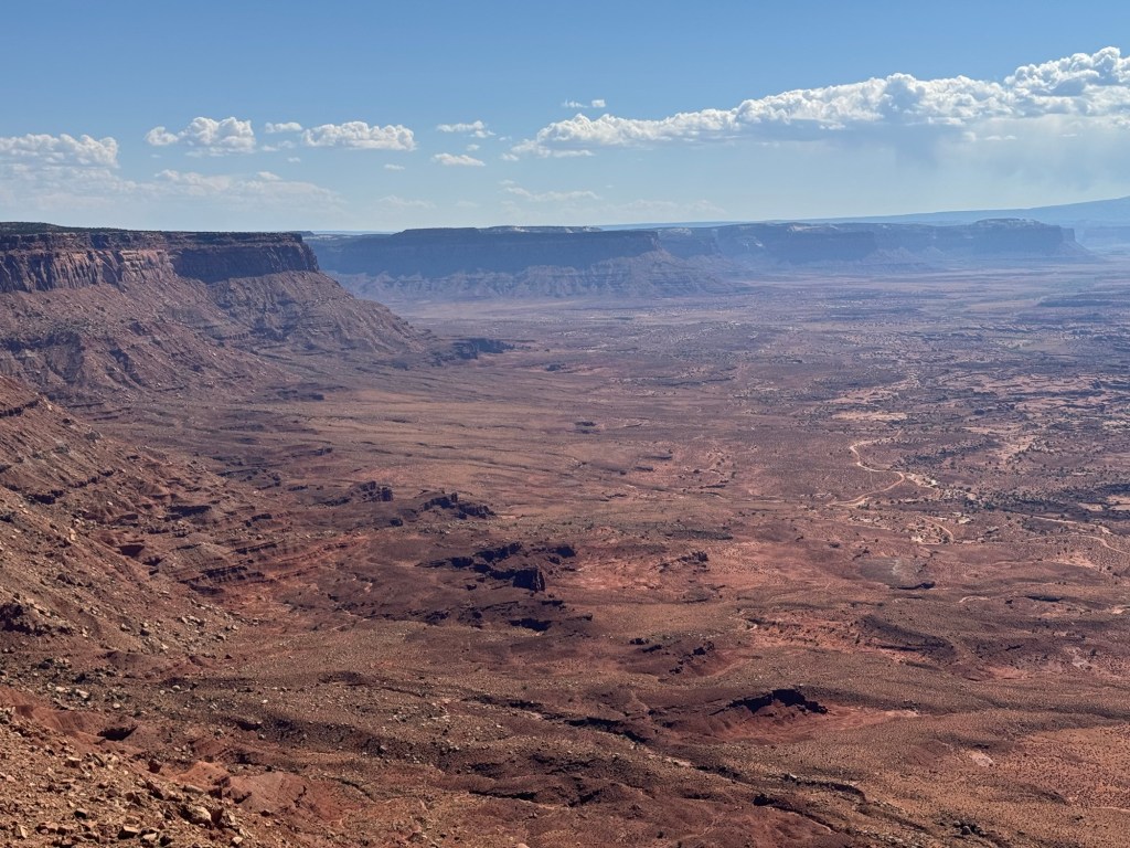
We came out of Harts Draw into Canyonlands at Newspaper Rock, but headed back to the highway to go north to a road into the Needles Overlook. It was also paved and we had more beautiful views of the canyons and red rocks.
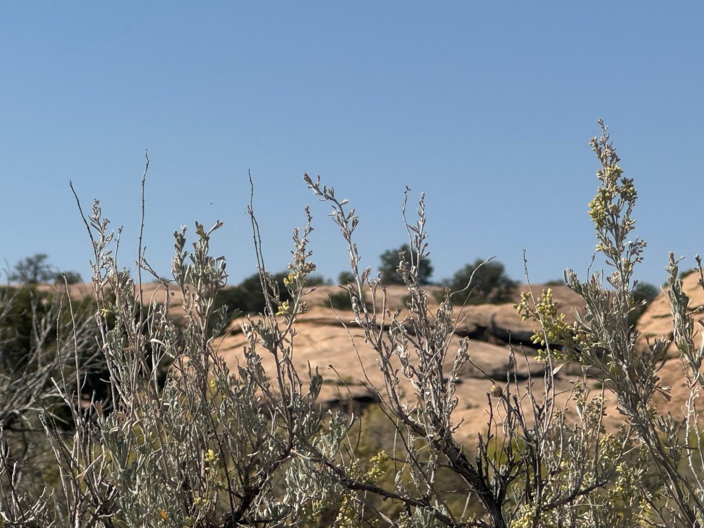
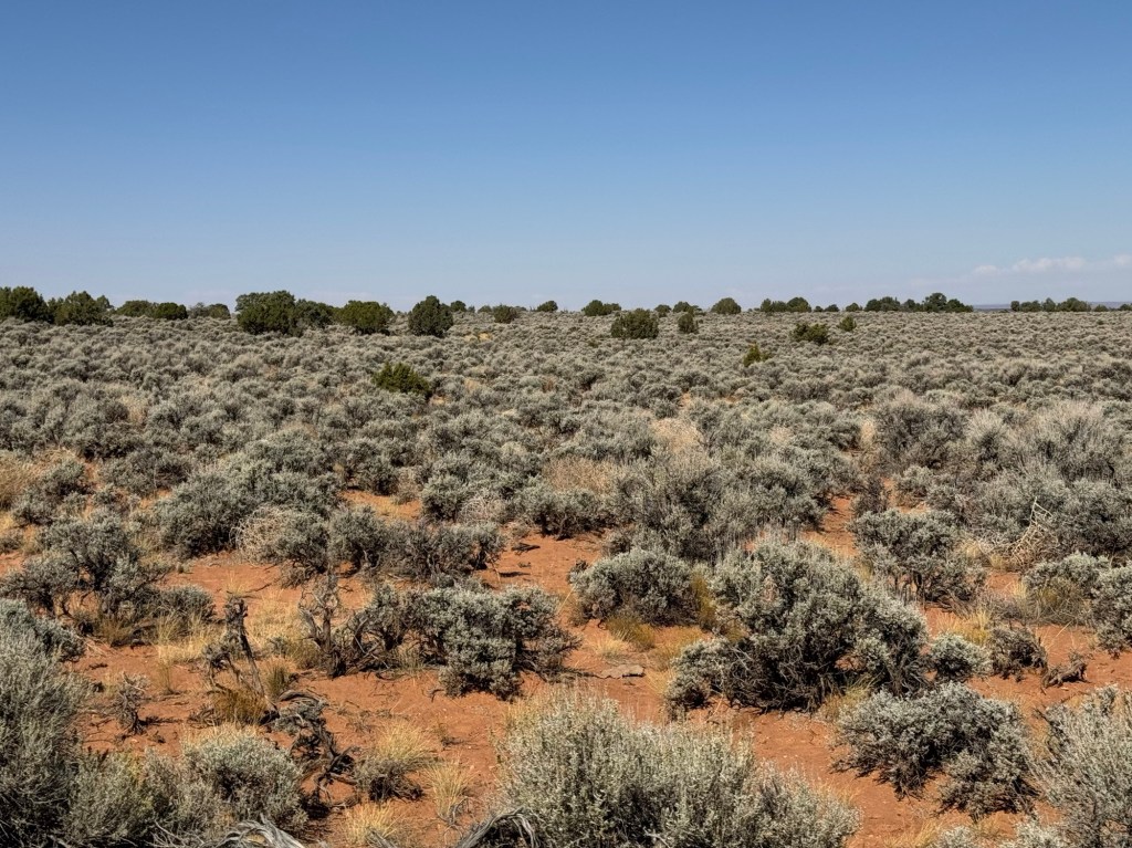
In stark contrast, as we drove along the mesa top, all you could see was sagebrush as far as you could see!
After we finished our drive and came back out to Hwy 191, we made the decision to drive north to Moab to check out our camping options for the next four days. I had a gap in our reservations and had a couple of options I wanted to check out. One was some first come sites where we had reservations beginning on the 14th. Unfortunately they were in a different loop and most had someone in the site already staying past Thursday. The loop also was not well suited for larger trailers like ours.
On to the second option, it was an area called Sand Flats. To get to it, you had a fairly steep climb out of town (Paul said no problem with the trailer though). Someone shared their day pass with us so we could drive in and take a look. Unfortunately, there were only a few sites with possible openings for Thursday (unless the people renewed in the morning) that would be suitable. This is quite the area for mountain biking over slick rock.
The third option was even less likely. It was another campground that was small and didn’t take reservations. We talked with the camp host who told us people would be lining up at the gate before 7 am and there would likely be 6 or 7 people trying for each site!
So, back into town for cell signal to check out some private parks. We finally found one on the south end of town called Moab Rim RV Campark. They had overflow sites without hookups we could take for as long as we needed. We selected one at the back of the park with a view of the red rock out our dining window and very little highway noise!
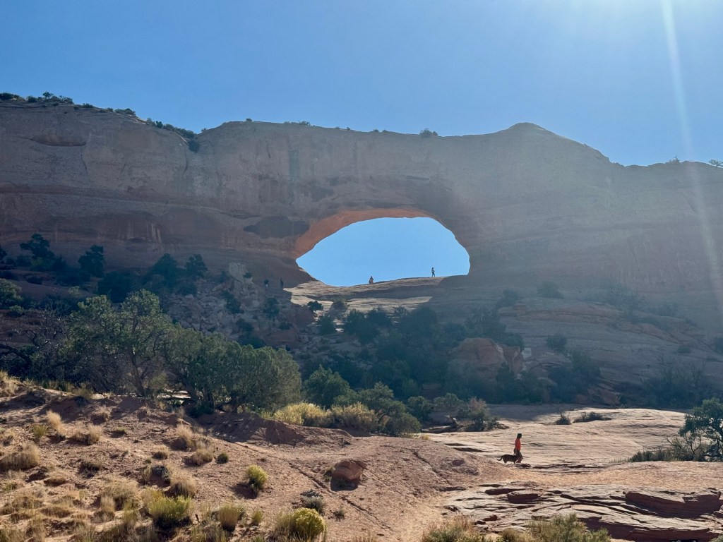
Feeling much better that we had secured our spot, we drove back to Monticello. Along the road we were treated to the view of an arch called Wilson Arch.