Blog

La Sal Loop

We had more clouds on Saturday morning than we had on any other day, but the sun was still shining through. We went south from Moab and then turned east onto the La Sal Loop Rd.

First look at the La Sal Mountains

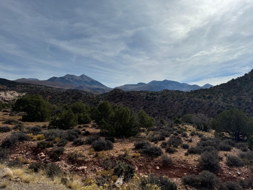
Through our drive we travelled significant elevation changes. We had highs of over 8000’ down below 5000’. Our road was paved the whole way. Unlike our time further south, there were few aspens and their colour was past. The red rocks and canyons, however, never disappoint.

Spanish Valley

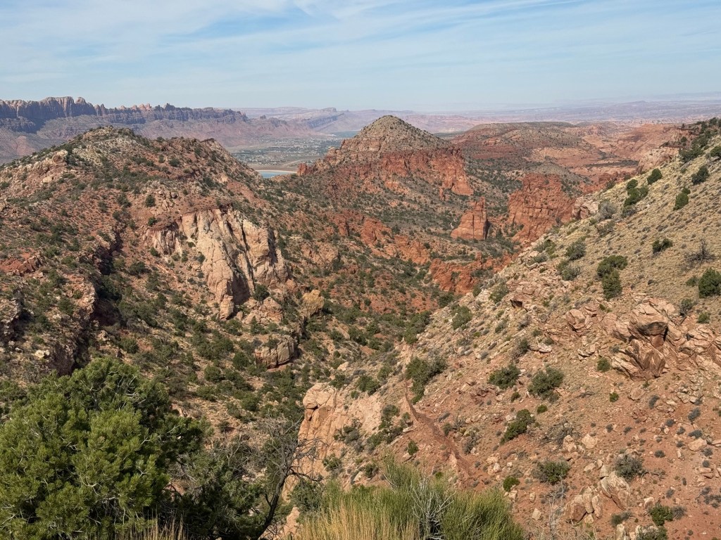
We continued along the road to this canyon. People park here and then descend into the canyon to climb. However, they climb on the same side we were so we were unable to see anyone who had stopped to climb.

Mill Creek, Horse Creek Canyon

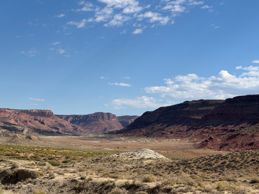
Probably one of the best views was near our descent down. From this point we had a great view of Castle Valley. It had beautiful red rock canyon walls. The colour contrast was pretty.

Castle Valley
Castle Rock

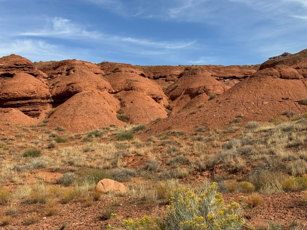
As we descended we had some unique mounds close to the side of the road.

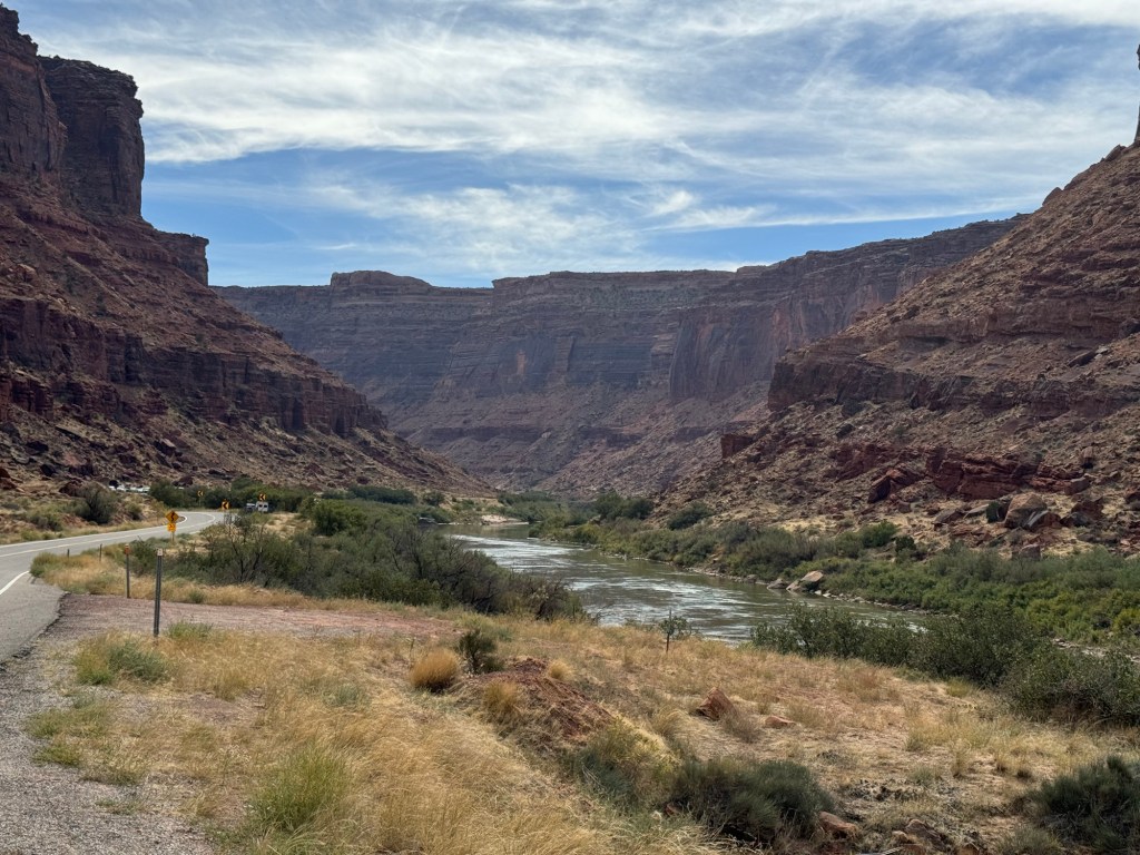
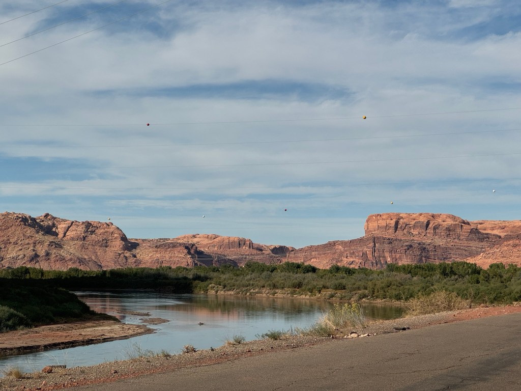
Once we got down to Hwy 128, we drove along the Colorado River. There were a number of small campgrounds along the river and we also saw people rafting on the river. There were a few rapids, but generally not a lot of white water.

Colorado River along Hwy 128

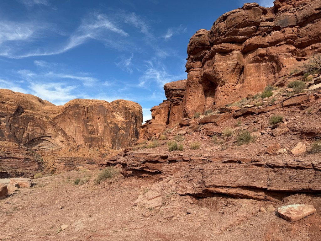
After returning to Moab, Paul wanted to drive another scenic road. Called Kane Creek Spring Rd., it was mostly a gravel road. Wider than some we’ve been on, it still had some sheer drops. At the start, we drove through some mining areas. Evidence of mines in the side of the cliff could be seen – they had been mining for uranium 70 years ago..

We still had some nice sky, but definitely more clouds than earlier in the day.

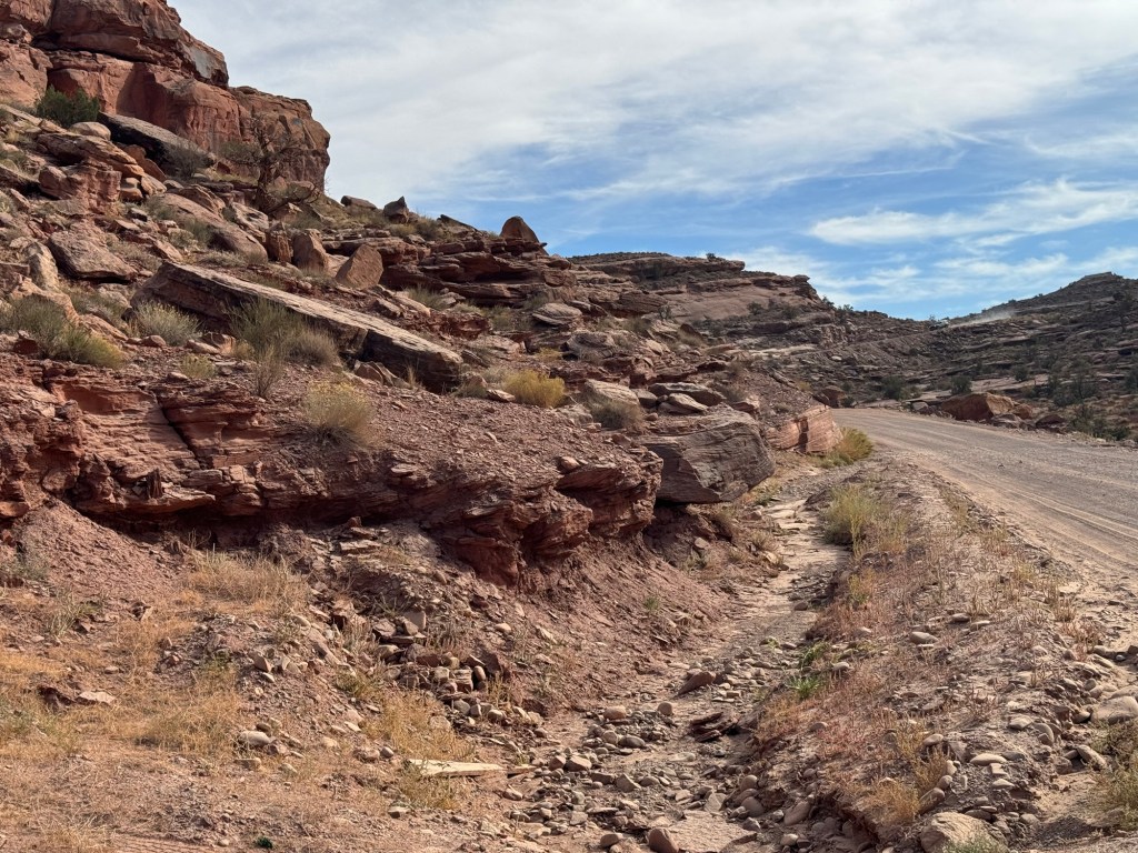
We drove in about 7 km and then turned around. We were starting to get more drop offs and I was having challenges again with the heights.

Back at the beginning of the road.

By the time we were back at the campground, it was soon time to make supper. Tomorrow we’re off to Dead Horse State Park and the north entrance to Canyonlands National Park.

Arches and more arches!

We went online on Thursday night and were able to secure an entry ticket into Arches National Park for 9 am. on Friday. Previous tickets, I had only been able to get a pass beginning at 2 pm. However they release additional entry tickets at 7 pm the night before, so I watched the time and made sure I was logged in to get one.

We had a bit of cloud on Friday morning, but by the time we got to the park we had full sun. The entrance was fairly smooth – show our day pass and park entrance pass along with ID and away we went. We stopped at a couple of viewpoints but then made the decision to drive out the windows and double arch road for some hiking.

Double arch was first on the list. A double arch is formed from potholes in the sandstone. A pothole that forms above an alcove in the face of the rock eventually wears through, forming an arch. In the case of the double arch, the same thing happened on the back side of the cliff, resulting in a double arch.

I stopped at the end of the trail but Paul kept going and joined all the others who were climbing right under the arch to look out the other side.

After returning to the start of the trail, Paul went to the other side of the parking lot to hike the windows trail. I opted to save my energy to hike to view the Delicate Arch which had some definite elevation change.

North Window
South Window

Once Paul returned, we headed down the road until we reached the trail to view the Delicate Arch. There is a trail to take you right to the arch, but it is a 5 km round trip with about 500’ elevation gain. At our stop there were two viewpoints. The first was a very short walk and then if you carried on from there, it was a 1.6 km round trip to the upper loop. There was an elevation gain of 170’ and the stats told us some of the incline was as much as 41% and 45% of the trail had inclines of 8% or greater.

We did have a nice view of the arch once we were up.

The steps were the easy part

Much of the incline was hard packed, but with loose sand from everyone walking it. Coming down was just as slow as going up!

In addition to the arches, we also went through areas of valleys with lots of sagebrush.

Cache Valley

We drove to the end of the road in the park and then headed back to the visitor centre to watch the video of the park before we headed to the trailer. Tomorrow the plan is drive the La Sal Loop.