We moved Monday to a more rustic camping area out in the desert. No hookups of any kind, so, we’re counting on the sun to give us our power. This far, it’s cooperated nicely, but we always have the generator as a backup.

The campground is on BLM land – otherwise known as Bureau of Land Management. This is actually more organized than much of the camping on BLM land we’ve seen, with designated roads and campsites with fire rings at each site. Paul gathered some firewood on some back roads and we were able to have a nice fire. The end of the evening, just has we were ready to head to bed, the wind came up very strong. So strong, we actually ended up having to put some water on it to basically put it out.
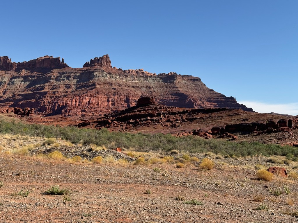
Wednesday, we decided to take another drive to check out one of the possible routes up to I70. Hwy 128 was a scenic road we had been on when we drove the La Sal Loop. It was a road that went right up to I70, and although there weren’t any restrictions for us to tow the trailer on it, we figured we’d drive it and check it out.

We stopped at a historic bridge. The bridge was no longer in use. Built in 1916, the Dewey Bridge succumbed to a wildfire in 2008.
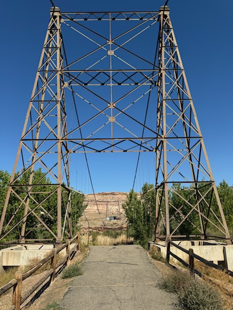
There is a plaque with info about it, but unfortunately it is no longer easy to read. The replica of the bridge on it was kind of neat.

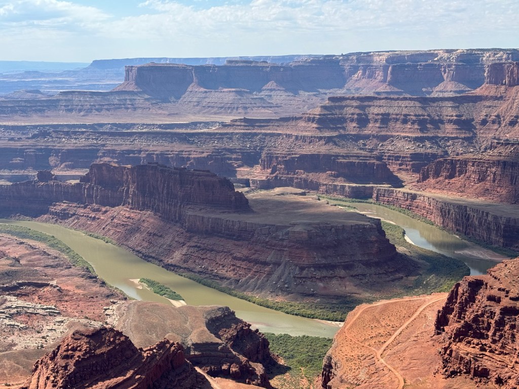
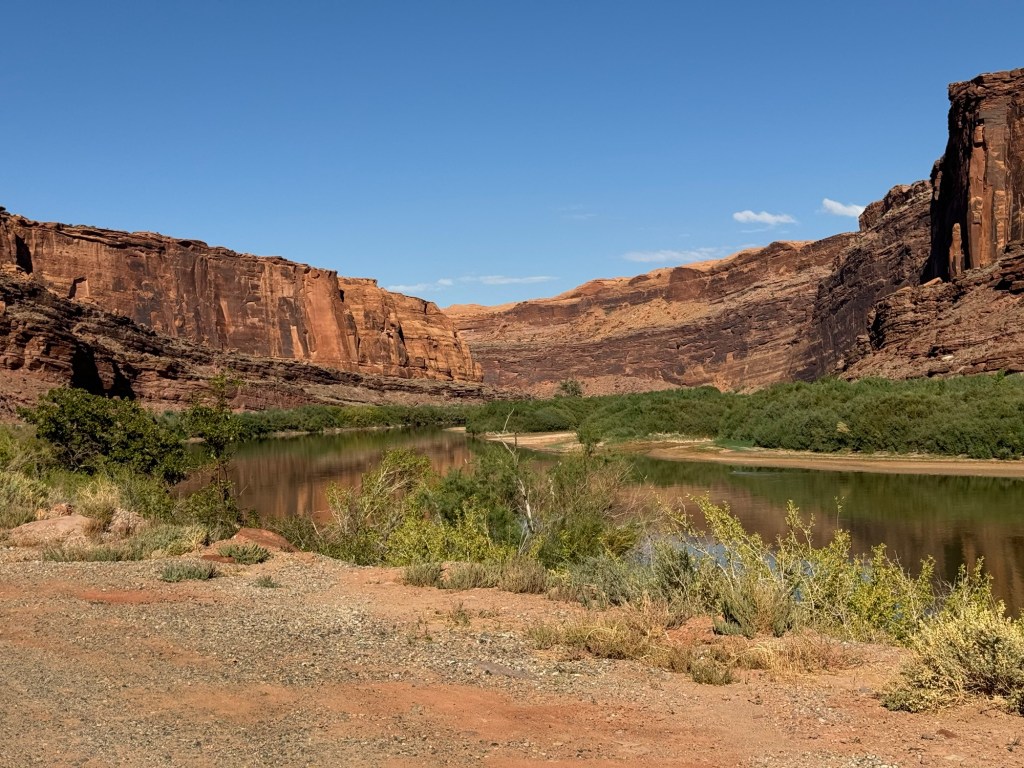
We had some beautiful views of the Colorado River and saw more rafts and kayaks. .

Shortly before we got to the interstate, the landscape flattened and we decided to turn around since Paul wanted to drive another road before we went back to the trailer. We made the decision we would take the more travelled route of 191 when leave Moab.
We then travelled back towards Moab to the Potash Rd. This road follows the Colorado River on the opposite side from the Kane Spring Rd. which we drove on Saturday.
Along the road, we came to a wall of granite that went straight up beside the road. We saw a number of climbers with their ropes climbing up. It appeared it was an area where people were learning to climb, as it was obvious many were saw were receiving instruction and spending a long time looking for their next hand or foot holds.
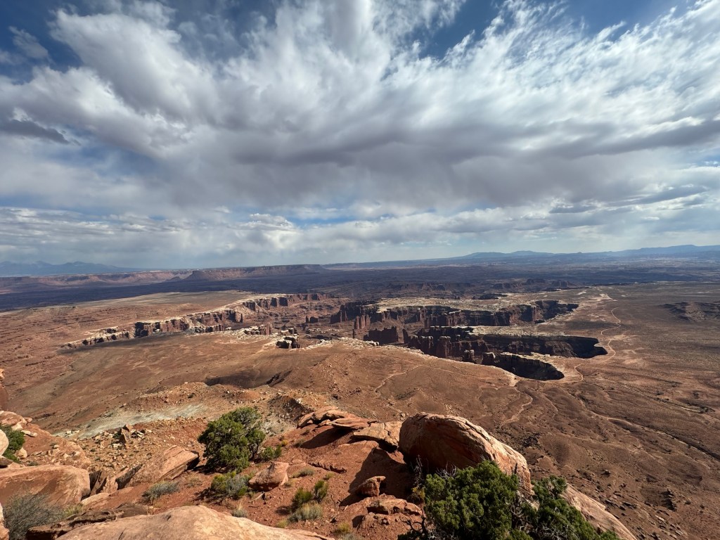
Eventually we came to a potash processing plant and beyond that, the road narrowed and became gravel/dirt. If you follow this road, it eventually becomes the Shafer Rd. which has lots of switchbacks up and into the north end of Canyonlands National Park. Having seen this road from Canyonlands, Paul knew I had no desire to travel on, so we turned around and headed back to the campground.