Dead Horse Point and Canyonlands from the north

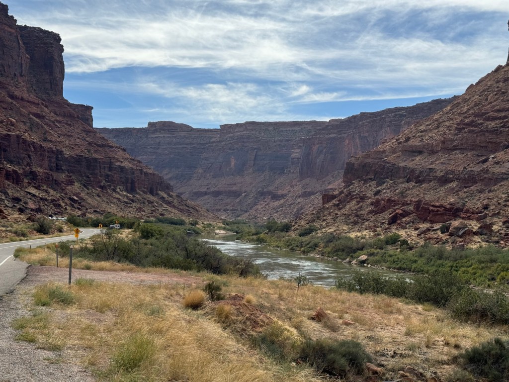
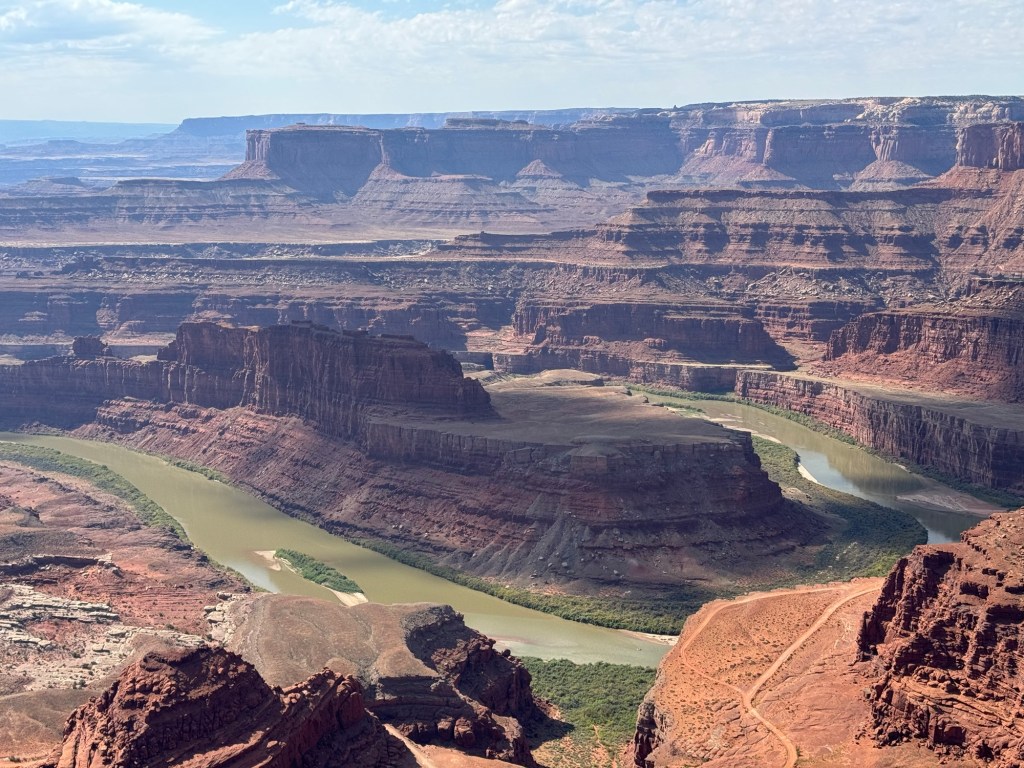
Our first destination on Sunday morning was Dead Horse Point State Park. We had been here in 2010 and it is an impressive view, 2000’ down to the Colorado River.

The legend of the park is that cowboys rounded up wild mustangs and herded them across the 30’ wide narrow neck of the Mesa. Once there, the neck was fenced off with branches and brush allowing the cowboys to choose the horses they wished to keep. They would leave with those horses and the unwanted ones would be left behind to die of thirst, since there was no water on the point.

Lots of 4×4 trails down in the canyon

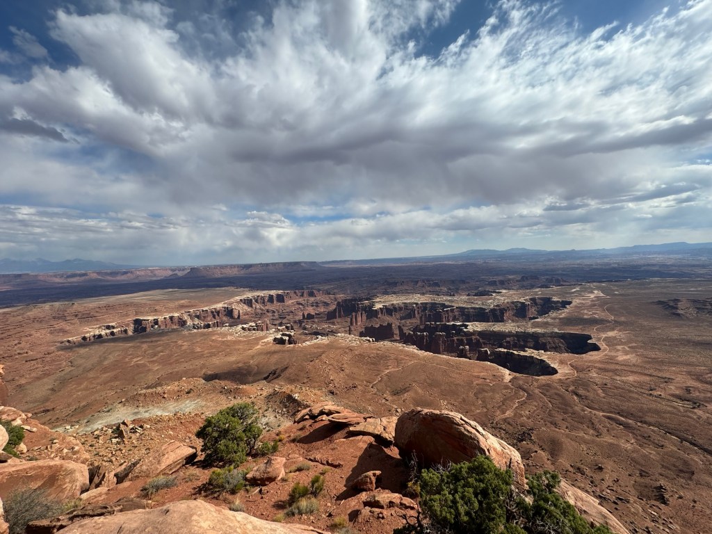
After our visit there, we headed to the north entrance of Canyonlands National Park. Called Island in the Sky, it is because you drive out on a mesa and then across a narrow “neck” to the island.

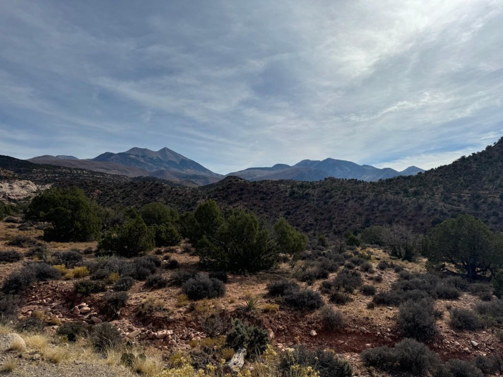
Lots of grasslands heading into the park.

Shafer Trail for 4×4 travelling to the bottom of the canyon. From Canyonlands N.P. You descend to the bottom and then follow Potash Rd. into Moab, a 2-3 hour trip.

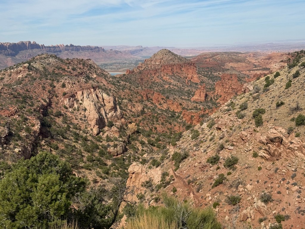
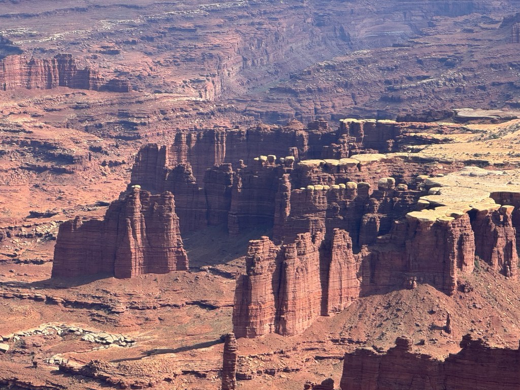
We headed to the end of the one arm of the road to a point called Grand View. From there we could look down to the White Rim and some more 4×4 roads. We walked along a trail for some more views.

The “ trail” – too close to the edge for me!
A neat dead Pinyon Juniper tree along the trail

Once we returned to the truck, we decide to head back to our campground since it would take more than an hour to get there. Tomorrow we move to a different campground, still in the Moab area, but our last before we start our journey home.

La Sal Loop

We had more clouds on Saturday morning than we had on any other day, but the sun was still shining through. We went south from Moab and then turned east onto the La Sal Loop Rd.

First look at the La Sal Mountains

Through our drive we travelled significant elevation changes. We had highs of over 8000’ down below 5000’. Our road was paved the whole way. Unlike our time further south, there were few aspens and their colour was past. The red rocks and canyons, however, never disappoint.

Spanish Valley

We continued along the road to this canyon. People park here and then descend into the canyon to climb. However, they climb on the same side we were so we were unable to see anyone who had stopped to climb.

Mill Creek, Horse Creek Canyon

Probably one of the best views was near our descent down. From this point we had a great view of Castle Valley. It had beautiful red rock canyon walls. The colour contrast was pretty.

Castle Valley
Castle Rock

As we descended we had some unique mounds close to the side of the road.

Once we got down to Hwy 128, we drove along the Colorado River. There were a number of small campgrounds along the river and we also saw people rafting on the river. There were a few rapids, but generally not a lot of white water.

Colorado River along Hwy 128

After returning to Moab, Paul wanted to drive another scenic road. Called Kane Creek Spring Rd., it was mostly a gravel road. Wider than some we’ve been on, it still had some sheer drops. At the start, we drove through some mining areas. Evidence of mines in the side of the cliff could be seen – they had been mining for uranium 70 years ago..

We still had some nice sky, but definitely more clouds than earlier in the day.

We drove in about 7 km and then turned around. We were starting to get more drop offs and I was having challenges again with the heights.

Back at the beginning of the road.

By the time we were back at the campground, it was soon time to make supper. Tomorrow we’re off to Dead Horse State Park and the north entrance to Canyonlands National Park.