Black Canyon of the Gunnison National Park

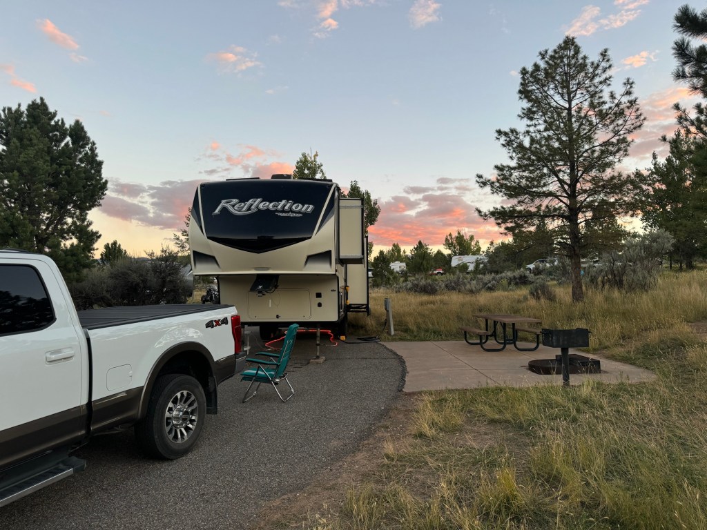
Saturday morning was beautiful – the sun was shining and warming our trailer and the skies were blue – a great day for a drive.

After breakfast, we headed north, through the town of Montrose, until we arrived at Black Canyon of the Gunnison National Park. We’ve been close here before but on the other side of the canyon, on the day we drove the West Elk Loop Scenic Byway.

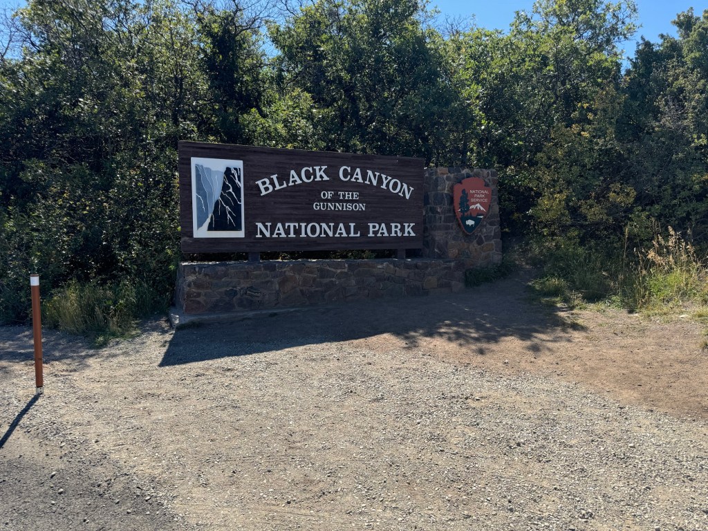
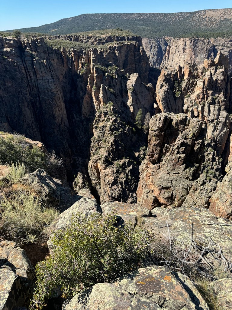
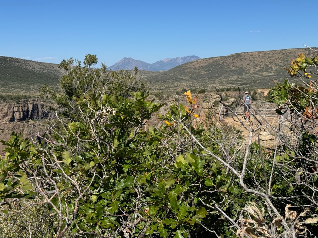
Arriving at the park, we once again were able to use our park pass for entrance. A designated dark sky park, there are views of the dark canyon walls amongst the tall spires of Douglas Firs, poplar, pinyon-juniper and Gambel oak. In fall, many of these turn a lovely golden yellow. We were just at the beginning of the colour change.

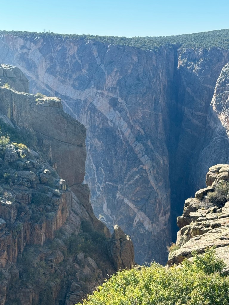
Our first stop was the visitor centre which had a short trail for a lookout of the canyon. It was just before noon and the lighting on the walls was good.

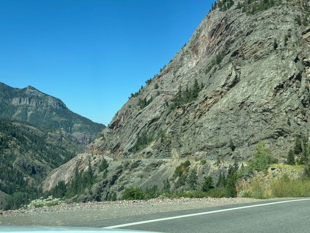
After another stop along the south rim, we decided to turn around and take a drive to the bottom of the canyon. It was a long paved road, with some 16% grades bringing us down about 2000’.

A couple of switchback on the way down to the river.

At the bottom of the road, we saw a dam and the river below was moving fairly fast. The main reason people go down is to fish. We saw one man fly fishing and a couple others dropping their lines in some holes.

Back up to the top, we drove the road out to the end of the south rim. A couple of short hikes at several of the overlooks gave some nice pictures but as is often the case, they just aren’t the same as seeing it in person!

Painted wall
Paul out on Pulpit Rock. I went most of the way but just couldn’t bring myself to go the last bit to the overlook. Heights and me just aren’t great together.

Million Dollar Highway – not for those who don’t like heights (that would be me!)

We left the fairgrounds Friday morning. Our destination was about 150 km north up what is called the Million Dollar Highway. Why is it named that? Is it for the million dollar views? Is it because of the cost to build a mile was a million dollars? Is it because after you drive it you won’t go back over it even if someone gives you a million dollars?

This section of Hwy 550 was built in the 1920s and 30s it has three mountain passes. Red Mountain Pass is the highest at over 11,000’. The other two are Molas Pass and Coal Bank Pass. With steep grades and hairpin curves, it certainly isn’t for everyone. Pulling a 33’ trailer up and down the grades makes it even more challenging – you need to know how to do it or your brakes will get too hot.

Coal Bank Pass

Along the way we passed through the town of Silverton, where we had picked up a pizza while out jeeping.

Coming down the mountain into Silverton.
Remnants of old mining days
Beautiful colours in the mountains. Lucky to have such a clear blue sky!
The road is literally cut into the side of the mountain. Many places there are no guardrails either.

We heard going north on the Million Dollar Highway is the better direction – you are driving on the mountain side and not looking over the edge as much. I can say I was happy to arrive at our campsite. It’s full on Friday night but we have a suitable site for the trailer.

Ridgway State Park site 47

We also were in time to have an early supper and head back to Ouray for a dip in their Hot Springs. What a wonderful way to relax before bedtime!