Red Canyon and Bryce Canyon

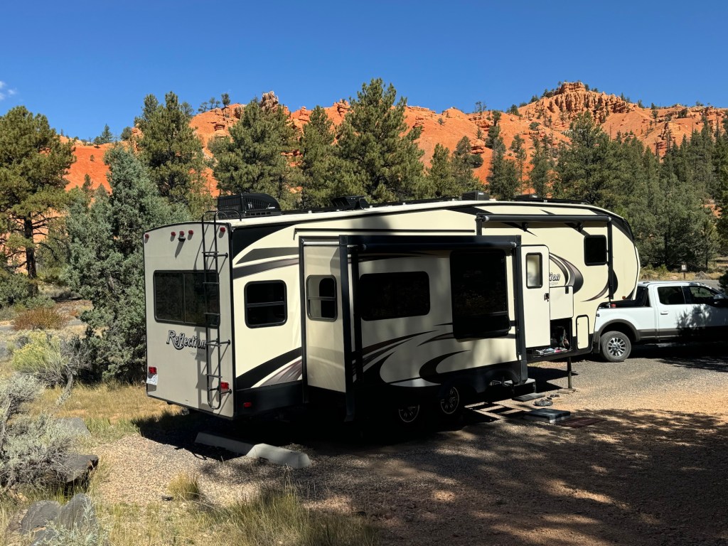
Thursday morning we got up early and after a quick breakfast, headed north. Arriving at our destination of Red Canyon National Forest, shortly after 10 am, we started driving the campground loops hoping for a spot our trailer would fit. With only 38 sites in total, we were fortunate to find one that not only was long enough for us to fit into, but the orientation was good for our solar and we weren’t right along the highway. We took the first one we came to and by noon, there were no sites left for new campers.

Red Canyon N.F. campground – site 29
The rocks that gave the area its name.

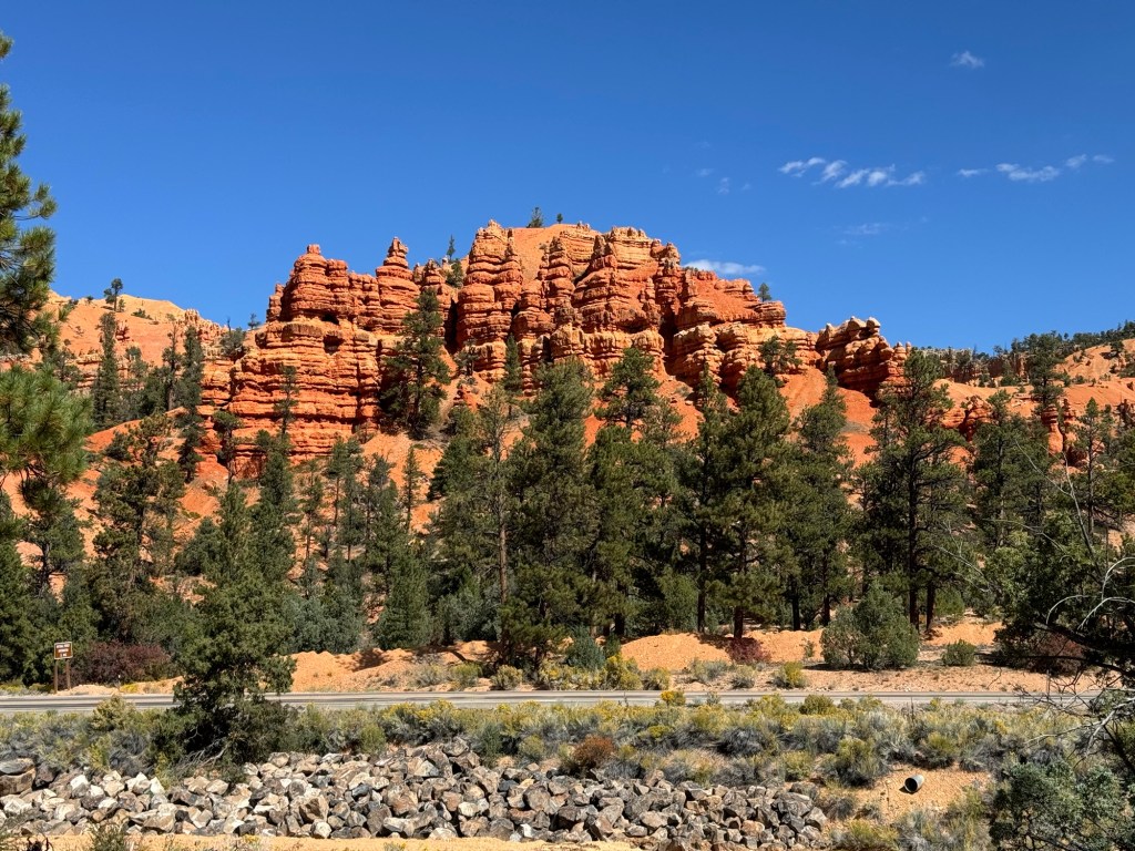
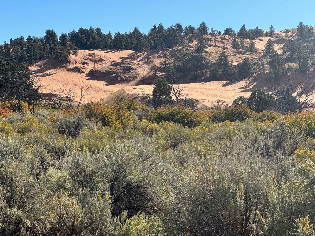
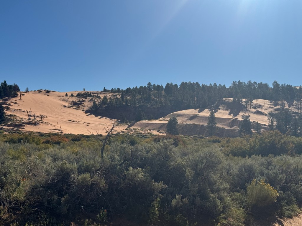
After setting up the trailer and getting a bit of lunch, we headed out for some exploring. A visit across the road at the visitor centre gave us a couple of areas to check out for dispersed camping. We thought we’d look at the possibilities given we were going to be in the area for 4 nights. The first, Tom’s Best Spring Dispersed had many forest road loops. The main road in, #117, was well maintained and there were lots of campfire areas suitable for larger trailers. Many were already taken late Thursday afternoon. Most had some shade but you could easily have enough sun for recharging batteries. The loops off the main road got into some beautiful spots, some along the ridge with wonderful lookouts, but hard to navigate through the trees with a large trailer. We were, however, easily able to get some firewood for a campfire.

The second area, Dave’s Hollow Dispersed, we went in on the lower area on the advice of the volunteer at the visitor centre. She had her trailer parked there for the season. However, we didn’t find as many good sites there. After discussing it, Paul and I decided to stay all 4 nights at Red Canyon Campground where we were set up. Our site was nice and, being an actual regulated campground, we felt more secure leaving the trailer during our day trips.

We enjoyed eating supper outside that night and having a nice campfire.

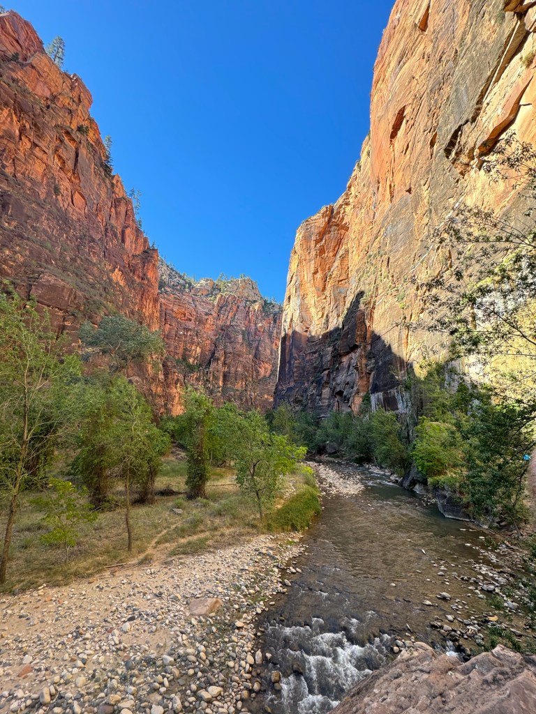
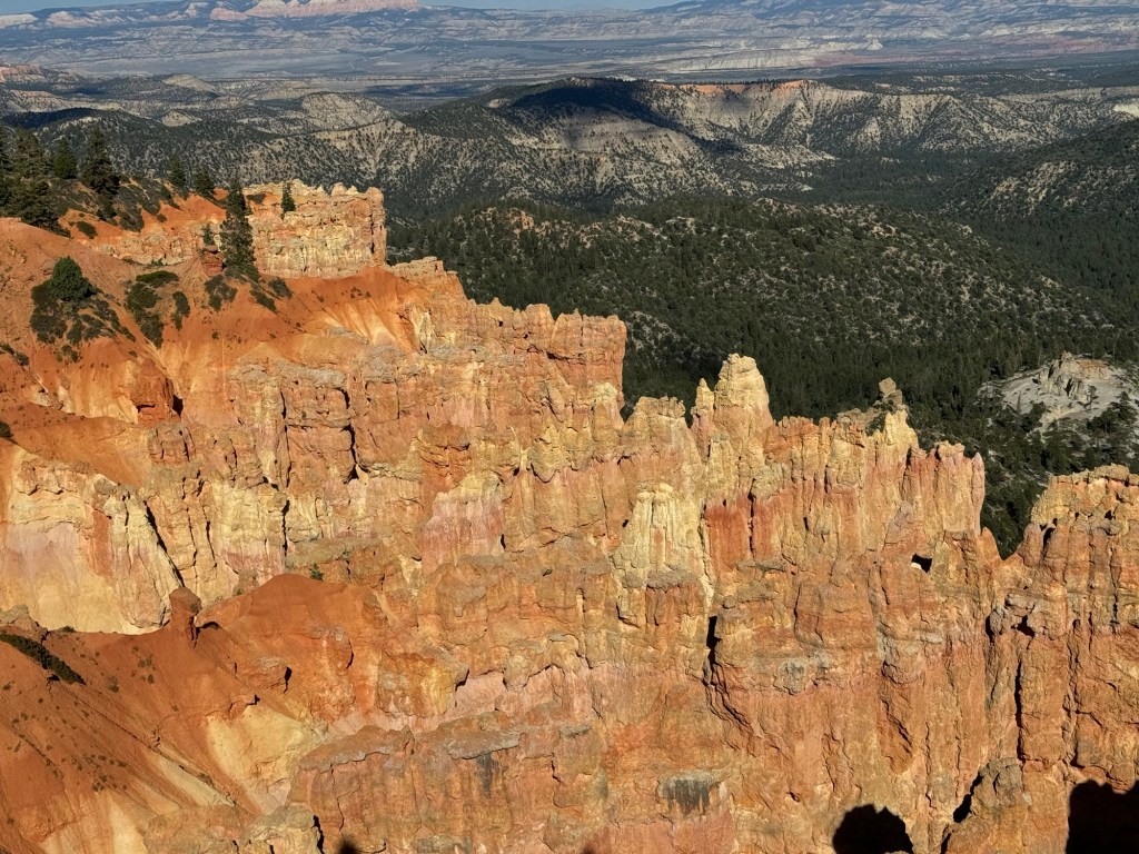
Friday morning we had another early morning so we could make the trip into Bryce Canyon National Park. Bryce is well known for the rock formations called hoodoos. Established as a National Park in 1928, it is the largest collection of hoodoos in the world. There are also some in Goblin Valley in Utah, and also somewhere in Turkey and New Zealand. It was named after a couple who came to the area in 1875 to live and harvest timber on the plateau. Bryce was his last name and his neighbours called the canyon behind his home, Bryce’s Canyon.

Lots of hoodoos

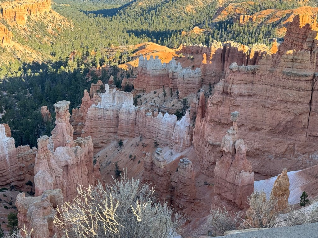
Hoodoos are formed due to a combination of factors. The various layers of rock mean some areas are more prone to erosion than others,causing water runoff to create gullies. The remaining hard rock is known as fins.. The freeze and thaw cycle makes larger cracks in these fins, and eventually a hoodoo is formed. At some points the hoodoo may actually break off when the erosion is too significant.

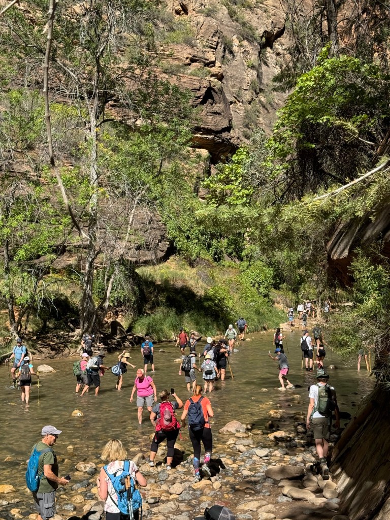
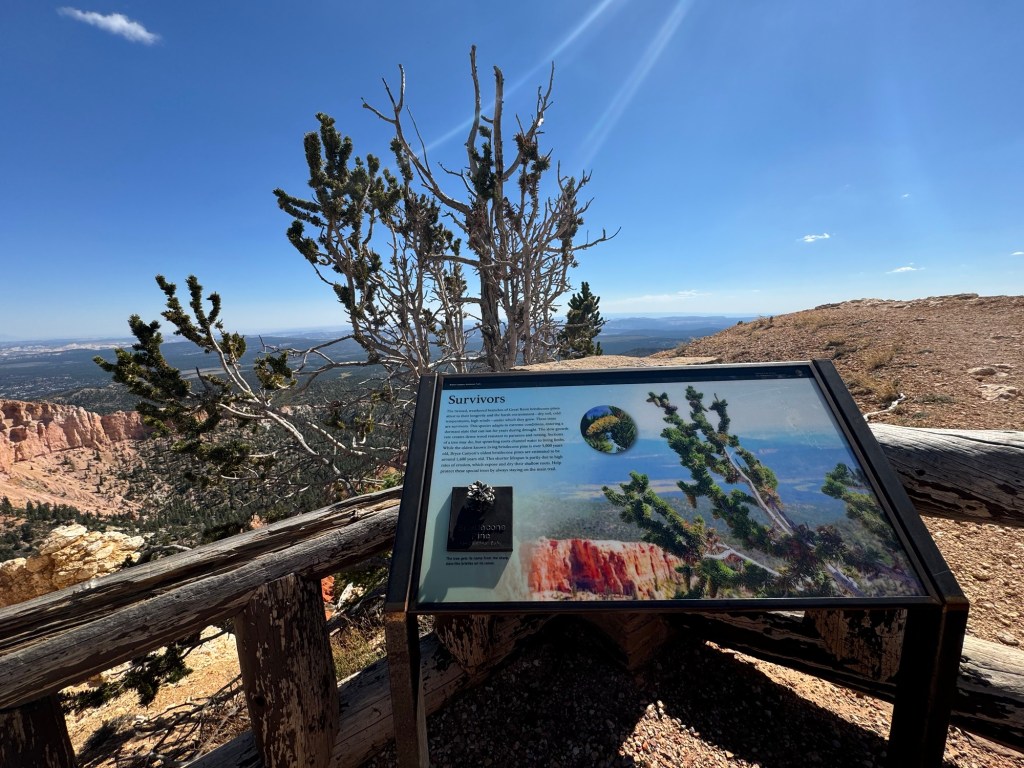
We did hike a trail while in Bryce. Called the Bristlecone Trail, it highlights there trees that in some cases may be 5000 years old!, although here the oldest known is 1200 years old.

Bristlecone pine tree
View from Ponderosa Lookout

One day at Bryce doesn’t allow enough time to see everything, but we decided since we had been before, we would explore a different area on Wednesday. Stay tuned!

Coral Pink Sand Dunes and Zion National Park

Monday was another gorgeous drive day. We had a couple of hours to drive to a rather unique state park. Called Coral Pink Sand Dunes State Park, we had to travel over 20 km off the main road to get to the park. About 2 km from the entrance, we started to see the dunes. After all the rock we had seen, it was an interesting sight.

Most people come here to ride ATVs through the dunes. Unlike our experience, where sand dunes in Ontario are usually protected, here they are used for entertainment. If you don’t want to ATV, you can rent a sand board and go sledding in the dunes. For us, it was just a place to see something different and camp in an area we could go sightseeing from.

Coral Pink Sand Dunes State Park site 33

Tuesday we headed for Zion National Park. Zion is known for its tall granite walls. In order to get anywhere in the park, there is a tunnel to go through, if you are entering from the east as we were. The tunnel is just over a mile long and there are restrictions to go through. You can’t be wider than 7’10”. There are also height restrictions. If you are over the width and height, then you have to pay $15 in addition to your park entrance fee. Having wider vehicles is also challenging since it means traffic through the tunnel essentially becomes one way, alternating directions.

First stop was the visitor centre. What a busy park! Just finding a parking spot. An be a challenge. Even at this time of the year, many days before noon there is no parking at the centre and people are directed to the town at the west gate to park and take a shuttle to the visitor centre. The park also has restricted driving in one area (where most of the trails are) and you have to take a shuttle there. The shuttle makes 9 stops along the way at hiking points, where you can get off and on.

We spoke with a park ranger to determine our plan for the day. We decided to take a hike along the Virgin River to a place called The Narrows. It was a hot day – around 34 degrees C and hiking along with river would give us some protection from the sun and be a bit cooler since we’d be at the bottom of the canyon.

Riverside Walk Zion N.P.

This trail is very busy. The main attraction is people want to walk in the river upstream. With the aid of walking sticks and hiking boots (recommended, but we saw lots in water shoes), they can walk miles up the river. Depending on the water flow, they can walk in waist deep water! The water temp when we were there was about 21 degrees C. The park staff monitor the river and weather since it can be affected by flash flooding. We had no plans to walk the river on this trip!

At The Narrows – people heading upstream

We decided we’d return on Wednesday to see another area of the park that had been recommended by the ranger. It was a 40 km paved road into an area called the Kolob Canyon.

On a 2 km side trail we could see the actual mountains in the main part of Zion.

Zion peaks in the distance

At the end of the road was a reservoir with some remote camping. Neither of us felt that we’d want to pull the trailer in that distance, although it was definitely remote and beautiful.

One of the bonuses to taking this side trip was the poplar trees were turned and made a beautiful sight.

At the bottom of the dam for the Kolob Reservoir

All in all, it was a beautiful 2 days of visiting Zion. Although hot, we made the best of it and the humidity was minimal. The clear blue skies made the pictures all the better! Tomorrow we move again, hoping to end up camped outside of Bryce National Park in a National Forest campground.